Tagline – Crew Build up by training locals and developing their technical skillset to undertake the Survey in Wali West Block.
In resource exploration endeavors, involving the local community not only fosters a sense of ownership but also contributes to sustainable development. This success story highlights the remarkable outcomes achieved by conducting Wali West Gravity and Magnetic survey in Wali West Block, where the survey is being executed by leveraging the local workforce.
Challenges and Objectives: The region had long been overlooked due to limited resources and economic opportunities. Unemployment rates remained high, and the lack of technical expertise hindered the exploration and development of its potential mineral deposits. The primary objective of conducting the Gravity and Magnetic survey was twofold: a) to empower the community by providing employment opportunities and b) to gather crucial geological data for future resource exploration.
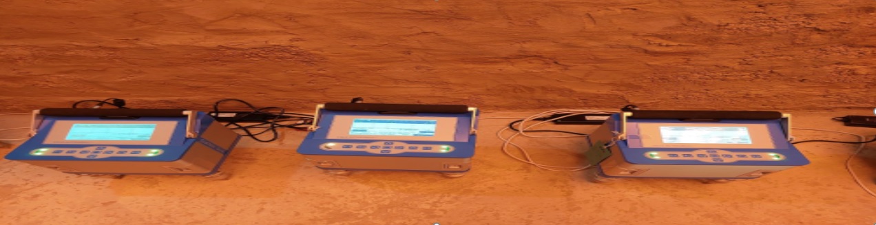
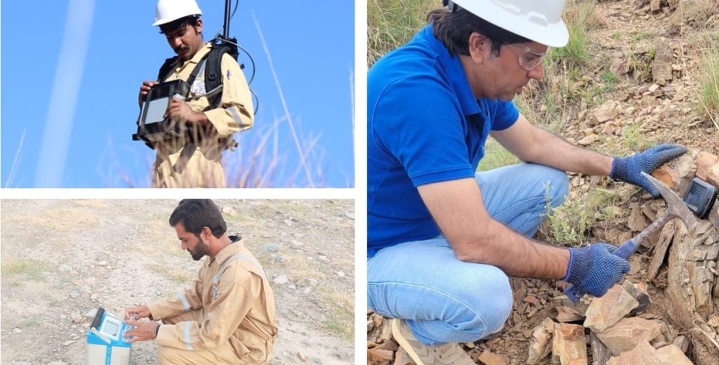
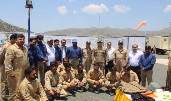
Methodology and Execution: To ensure the success of the survey, a collaborative approach was adopted, bringing together the resources of MPCL, local authorities, and community representatives. The local workforce was trained and equipped with the necessary skills to conduct the gravity and magnetic survey effectively. Specialized training programs were organized, focusing on data collection techniques, and equipment operation. This approach not only provided employment opportunities but also empowered the community with valuable technical knowledge. G&M Crew comprised of MPCL staff (for field processing only) and field operational with twenty local skilled staff.
Key Findings and Successes:
Community Engagement: The involvement of the local workforce instilled a sense of pride and ownership within the community. By actively participating in the survey, individuals felt a stronger connection to their land and its potential. This engagement fostered a positive attitude towards resource exploration and development, enhancing community support and cooperation.
Technical Expertise Development: The training programs offered to the local workforce enabled the acquisition of valuable technical skills which could potentially contribute to assistance in future exploration activities.
Cost Optimization: Utilizing local workers significantly reduced labor costs, making the gravity and magnetic survey more cost-effective. This allowed for a greater allocation of resources towards the acquisition of advanced survey instruments and improved data analysis techniques. The cost optimization ultimately maximized the efficiency and accuracy of the survey.
Socio-Economic Impact: By providing employment opportunities and training, the project positively impacted the socio-economic conditions of the community. Unemployment rates decreased, disposable income increased, and skill development stimulated additional economic activities.
Conclusion: The success story of conducting Gravity and Magnetic survey with the local workforce demonstrates the transformative power of community engagement and empowerment. By providing employment opportunities and technical training, the project not only gathered crucial geological data but also generated long-lasting socio-economic benefits. This success story serves as an inspiration for future resource exploration initiatives, emphasizing the importance of involving local communities in achieving sustainable development and unlocking the full potential of resource-rich regions.
The crew will remain engaged for other G&M Surveys in other regions after completion of this project.